AFN Fishing Maps
$8.00
The AFN Fishing Maps are a location based guide made by anglers for anglers. There is an AFN Fishing Map for every angler. These maps are jam-packed with detail regarding locations, species, navigation, boat ramps, depths, tips and techniques. The AFN Fishing Map are ideal to keep in the boat or backpack for when you are on the water. Whether you are traveling to somewhere new, or want to refresh on your knowledge of a waterway, be sure to check out the AFN maps.
Select a map below to see areas covered.
Map 18 – Northern NSW Lakes
- Lake Keepit, Toonumbar Dam, Clarie Hall Dam, Copeton Dam, Pindari Dam & Split Rock Dam
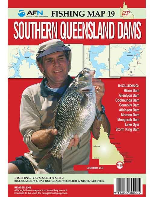
Map 19 – Southern QLD Dams
- Maroon, Leslie, Hinze, Glenlyon, Coolmunda, Connolly, Atkinson, Moogerah, Dyer & Storm King
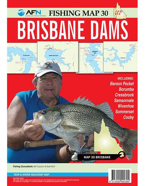
Map 30 – Brisbane Dams
- Baroon Pocket, Borumba, Wivenhoe, Somerset, Cressbrook, Cooby & Samsonvale
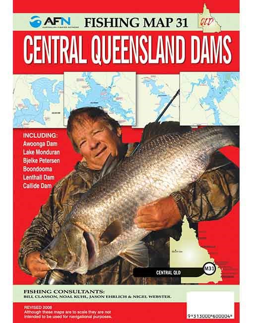
Map 31 – Central QLD Dams
- Awoonga, Monduran, Callide, Boondooma, Lenthall & Bjelke Petersen
Map 32 – Northern QLD Dams
- Proserpine, Fairbairn, Theresa Creek, Teemburra, Kinchant, Bundoora, Eungella & Cania
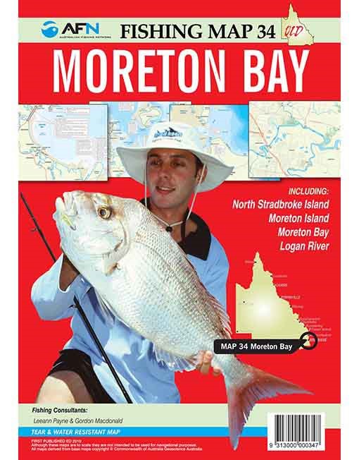
Map 34 – Morton Bay
- North Stradbroke Island, Moreton Island, Moreton Bay & Logan River
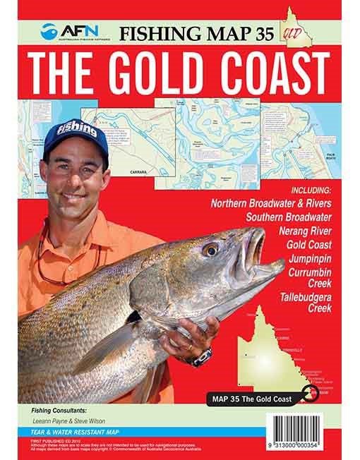
Map 35 – Gold Coast
- Northern Broadwater & Rivers, Southern Broadwater, Nerang River, Gold Coast, Jumpinpin, Currumbin & Tallebudgera Creek
Please note: Book covers are a guide only; actual map cover may vary.
| Model | Map 18: Nth. NSW Lakes, Map 19: Sth. QLD Dams, Map 30: Brisbane Dams, Map 31: Ctr. QLD Dams, Map 32: Nth. QLD Dams, Map 34: Morton Bay, Map 35: Gold Coast |
|---|
